
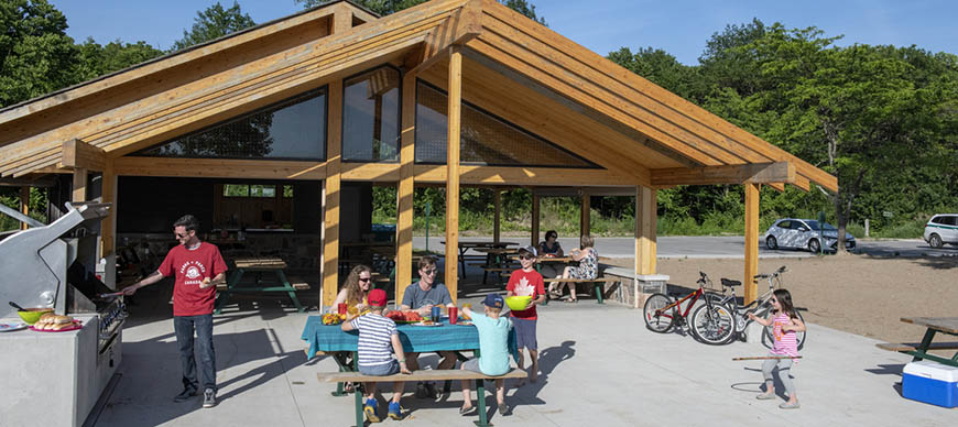
Conservation in action: stories from the field
At its core, impact assessment is about making sure that projects avoid causing negative effects to the environment, and that they are compatible with Parks Canada’s mandate.
This is reflected in the nine key principles that guide Parks Canada impact assessments. Read on for seven short stories drawn from across the country that illustrate those principles in action.
-
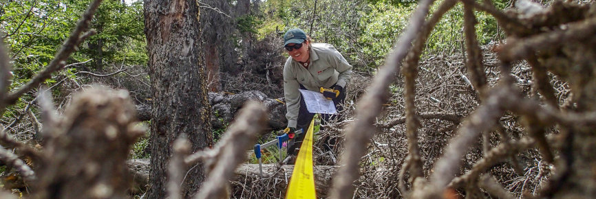
Evidence supports assessment and design of highway rehabilitation
Kouchibouguac National Park, NB
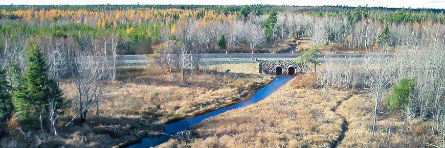
The problem
A cracked and aging 24-km section of the highway needed repaving. It was a public safety concern. Also, studies from past years showed that highway traffic killed many amphibians that tried to cross it. Repaving would pose risks to the park environment. However, ecologists also recognized an opportunity. Conservation gains could be achieved with better design. Infrastructure could be built to improve habitat connectivity—in other words, to help frogs and turtles move safely across the highway.
The approach
Ecological survey data enabled Parks Canada staff to identify four frog crossing hotspots and critical habitat of the Wood turtle (a threatened Species at Risk). It also showed important Brook Trout spawning and nursery grounds where the highway crossed streams. A Basic Impact Assessment used this evidence to improve the highway design and impact mitigations.
The solution
Four amphibian tunnels were built at crossing hotspots. Green frogs, wood frogs, and spotted salamanders have been seen using the tunnel, and more are hoped for. In addition, redesigned culverts improved fish passage below the highway. They reconnected brooks, creating 1247 m2 of new fish habitat. Temporary construction impacts were reduced by a fish salvaging program (an effort to pick up fish stranded in dry river runs and move them to safety). During construction, staff kept a daily watch for Species at Risk. Erosion and sediment controls were used to protect waterways. A monitoring program remains in place to measure effectiveness.
-
Engagement with stakeholders improves Best Management Practices
Nahanni and Nááts’įhch’oh national park reserves, NWT
The problem
In northern park reserves, many eco-tourism entrepreneurs offer guided rafting, canoeing, and hiking expeditions. Each operator must have a Parks Canada business license, which is issued after an impact assessment. The assessment checks for potential environmental effects of tourism and public concern. The Mackenzie Valley Resource Management Act requires this. Parks Canada staff wanted to develop Best Management Practices that would make the assessment process more efficient. They would ensure consistent and quality mitigations were applied to businesses every time.
The approach
Parks Canada engaged Indigenous partners, who cooperatively manage the reserves, and multiple stakeholders in the development of the Best Management Practices. Tourism entrepreneurs, community councils, destination marketers, and environmental NGOs received early notice of the proposal and lots of time to respond. Input from all who wished to comment was considered.
The solution
Stakeholders brought valuable local insights that were incorporated into the Best Management Practices. At the same time, Parks Canada strengthened its long-term relationships with those stakeholders. As a result, applicants can be sure of an efficient review. The review process upholds the reserves’ high environmental mitigation standards.
-
Inclusive engagement contributes to flood protection
Fortress of Louisbourg National Historic Site, NS
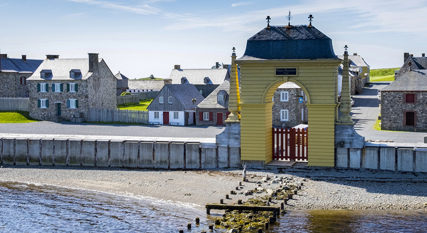
The problem
Sea level rise, coastal erosion and increasing storm intensity raised the risk of flooding at one of the most iconic historic sites in Eastern Canada. Historically, the Fortress was protected by Barrier Beach and the Quay Wall. Through careful monitoring, Parks Canada staff recognized that the beach was eroding. Losing nearly half a metre per year, it threatened to breach. Only a major engineering intervention could preserve the site. This required that multiple stakeholders be engaged for their insights on the proposed solution design.
The approach
The impact assessment team consulted provincial and federal experts, local fisher people, the Mi’kmaq of Nova Scotia, and the public. Through the consultations, the team considered how the solution might impact cultural, ecological, and archeological resources, and the visitor experience. It became clear that the impact assessment should focus on the potential impacts of the solution design on fish and fish habitat.
The solution
The project team installed two stone structures extending from the shore into the sea (also known as groynes) at each end of Barrier Beach. These help prevent the beach from washing away. The beach itself was “nourished” with new sediment. The project also raised the Quay Wall by one metre. Parks Canada worked closely with experts at Fisheries and Oceans Canada to offset the potential impacts to fish from this activity. More productive fish habitat was created at the site through the restoration of a saltwater marsh. -
Parks Canada’s mandate guides project design, benefitting ecosystems and visitors
Point Pelee National Park, Ontario
The problem
An aged visitor day-use facility at the Northwest Beach no longer met the needs of visitors. Visitorship had declined from its height in the 1960s. Meanwhile, concern had risen for the rare and fragile active dunes (wind-blown sands) of the Lake Erie Sand Spit Savannah habitat. Accordingly, staff proposed to redesign the visitor facilities. This created an opportunity to make conservation gains for Species at Risk.
The approach
Parks Canada’s mandate centres both ecological integrity and outstanding visitor experience. Through this lens, a Basic Impact Assessment looked at each stage of the project. It considered how removing the old visitor facilities, restoring habitat, and building and operating the new facilities could impact the environment. Means were sought to enhance both ecological integrity and the visitor experience.
The solution
In addition to the building of a new day-use facility, the project entailed restoring about half the footprint of the old day-use area (16,000 m2 or 1.6 hectares). Habitat for 16 Species at Risk was expanded and enhanced. The old roadway and three of four parking lots were also removed and returned to nature. The new day-use facility and the one remaining paved parking lot provided improved modern facilities for visitors while still having net positive gains for the important habitat at Northwest Beach.
-
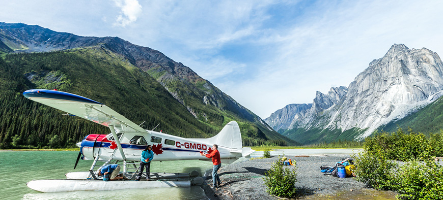
Collaboration with Inuvialuit informs caribou filming practices
Ivvavik National Park, YT

The problem
The British Broadcasting Corporation (BBC) proposed to film the spectacular migration of the Porcupine caribou herd through Ivvavik and Vuntut national parks. Among land-mammal migrations, the herd’s move from wintering to calving grounds is one of the world’s longest. It would make a magnificent film subject. The BBC also hoped to film government scientists collaring caribou with satellite GPS units and the post-calving aggregation of the caribou in late June or July.
The approach
These places are homelands of the Inuvialuit and Vuntut Gwitchin, for whom the caribou is a cultural touchstone. Ivvavik National Park is cooperatively managed between Parks Canada and the Inuvialuit. They are directly involved in all stages of project development, impact assessment, and implementation. Accordingly, Parks Canada staff brought the BBC’s proposal to the park’s cooperative management board for review. The impact assessment process informed whether the permit could be issued and on what conditions.
The solution
The film permit was issued on condition that the crew follow rules that were developed with Inuvialuit Indigenous Knowledge to avoid disturbing the caribou. The crew was required, for example, to ascend to higher altitudes and use specialized camera equipment to avoid startling the animals. They would also have to land at least 300 m away from the herd. The meaningful participation of the Inuvialuit helped strengthen Parks Canada’s relationship with the community. And it ensured that the BBC filming was a success without any negative impact on the caribou.
-
Focused and efficient effort ensures safe bridge repair
Rideau Canal National Historic Site, ON
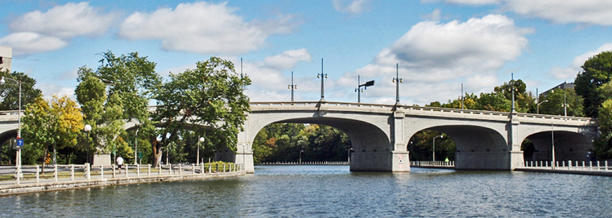
The problem
Ottawa’s Bank Street Bridge, built in 1912 over Queen Elizabeth Drive and the Rideau Canal, needed repair. The last major rehabilitation had taken place two decades prior. Since then, concrete on the underside of this urban archway had become delaminated and unsound. To fix it, repair equipment, including a large construction barge, would have to be anchored in the canal below. The work posed a low risk to natural and cultural resources on the canal. Still, an impact assessment was required in order to address potential negative impacts and meet legal requirements under the Impact Assessment Act.
The approach
A guiding principle of Parks Canada impact assessment is focused and efficient review of proposals. In line with that principle, for the work taking place out of the water, negative effects were readily addressed. Well-established standard mitigations were drawn from a preapproved routine impact assessment (PRIA). An appropriate effort was also given to mitigating low risks to Species at Risk and boaters. For example, the project site fell within the critical habitat zone of the threatened Blanding’s turtle. However, no records exist of the turtle’s presence in this urban section of canal with high concrete walls. It was slightly more possible that workers might encounter a nest of the threatened Barn swallow. Defined steps would prevent harm.
The solution
The impact assessment duly considered steps to follow if a turtle or swallow’s nest were spotted, using the right level of effort. For example, Blanding’s turtle surveys were not warranted ahead of time given the low risk of encounter. Work on the bridge was authorized on condition that the work crew follow targeted mitigation procedures. If workers did spot a turtle, they would stop and allow the animal to leave the site. Birds’ nest sighting would require work stoppage and an immediate report to Parks Canada.
-
Parks Canada’s mandate steers assessment of new avalanche control system
Kootenay National Park, BC
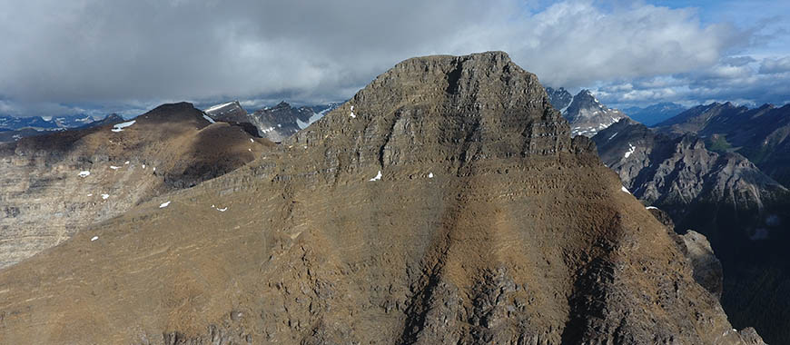
The problem
Every year at Mount Whymper, Parks Canada staff have had to fly helicopters to place explosives on avalanche pathways that threaten Highway 93S. Sometimes it would have to be done in conditions of poor visibility or stormy weather. A proposed Remote Avalanche Control System (RACS) that would end these staffed operations. The promised benefits for safety and cost savings were huge. However, even good projects have potential risks. The impact assessment process helps Parks Canada staff see and address them.
The approach
The RACS installation posed a risk of disturbing wildlife and changing pristine mountain views valued by visitors. These concerns came from thinking through the Parks Canada mandate. A Basic Impact Assessment surveyed the risks at the four small installation sites at approximately 3000 m elevation, and along the flight paths to get to them. It identified the potential for the barren mountain face to be visited by mountain goats and nesting birds. Also, Mount Whymper attracts recreational skiers. An analysis to determine closure policies would be required.
The solution
The RACS installation was authorized on condition that work crews take measures to avoid disturbance to mountain goats and nesting birds. Surveys for both were required prior to the work. Appropriate adjustments to flight paths were also needed. Work was scheduled to avoid the mountain goat kidding and early rearing season. Still, the work would be done before snowfall of the same year. As much as possible, work crews limited their number of flights to the sites. And frequent communication about the work plans ensured visitors would be kept informed of risks and closures. Attention to the Parks Canada mandate minimized wildlife and visitor disturbance, while delivering a safer avalanche season for all.


- Date modified :