
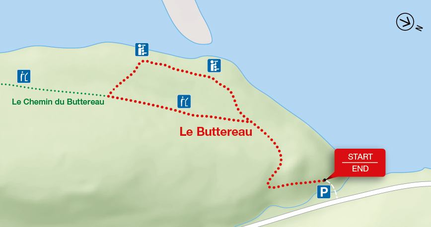
Le Buttereau
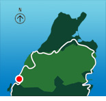
Cape Breton Highlands National Park
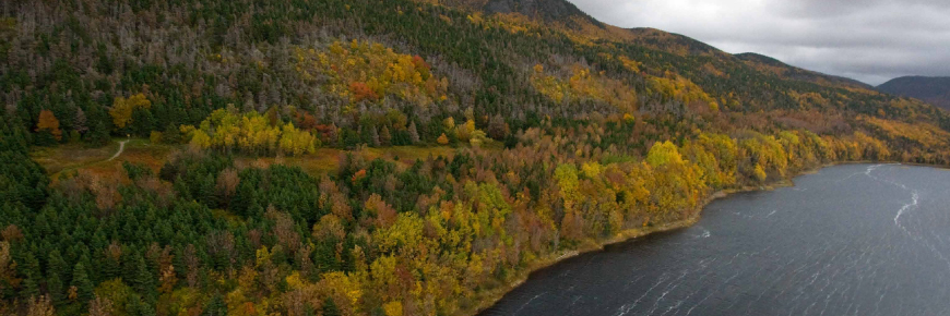
The self-guiding trail explores mixed Acadian forest, old fields and foundation ruins on a "buttereau" (small hill) overlooking the Chéticamp River and Gulf of St. Lawrence. Wildflowers, trees and shrubs have invaded these pastures that were once tilled by the Acadian pioneers, making an ideal spot for birds and small mammals. Plaques commemorate former Acadian homesteads.
| Length | 1.6 km / 1 mi (loop) |
|
| Rating | Easy  |
|
| Elevation | 10 - 55 m (35 - 180 ft) | |
| Time | 30 - 45 minutes | |
| Significant features | Acadian history, ocean view Interpretive loop. Short climbs. Suitable for most skill levels. |
|
| Trailhead | On the Cabot Trail across from the Grande Falaise picnic area Lat: 46.676389 Long: -60.957946 |
Related links
- Acadian
- Salmon Pools
- Le Chemin du Buttereau
- Le vieux chemin du Cap-Rouge
- Corney Brook
- Skyline
- Bog
- Benjie's Lake
- Fishing Cove
- MacIntosh Brook
- Lone Shieling
- Aspy
- Mica Hill
- Jack Pine
- Coastal
- Jigging Cove Lake
- Green Cove
- Broad Cove Mountain
- Warren Lake
- Branch Pond Look-off
- Franey
- Clyburn Valley
- Middle Head
- Freshwater Lake Look-off
- Freshwater Lake
- Date modified :