
© Markus Thompson/Thalassia
Central Coast of BC: proposed national marine conservation area reserve
Project description
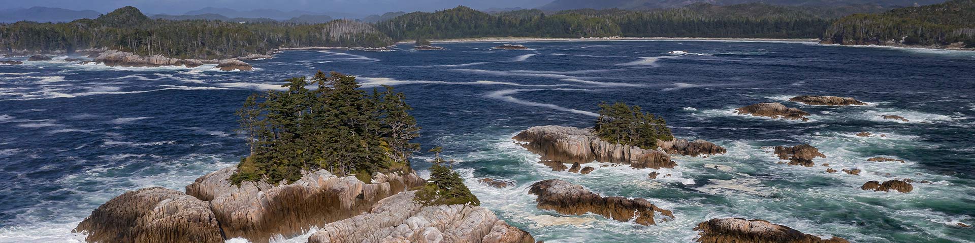
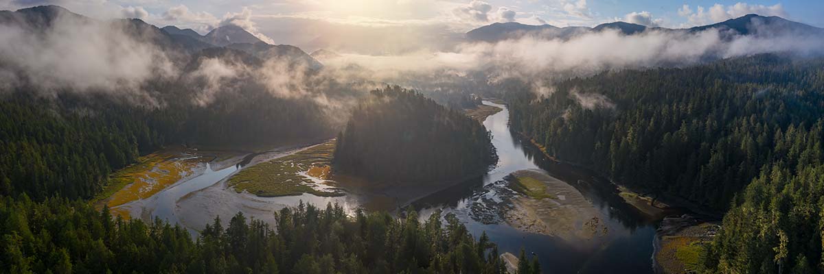
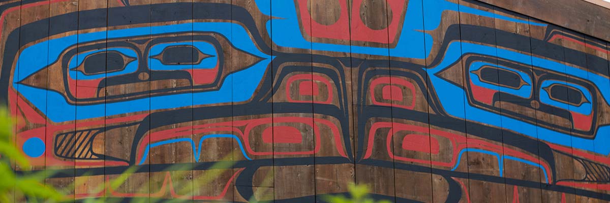
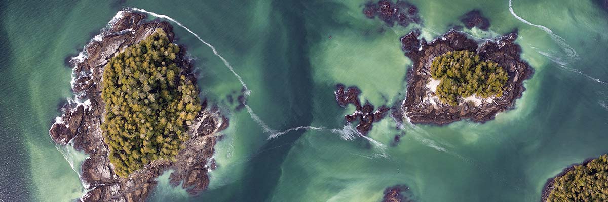
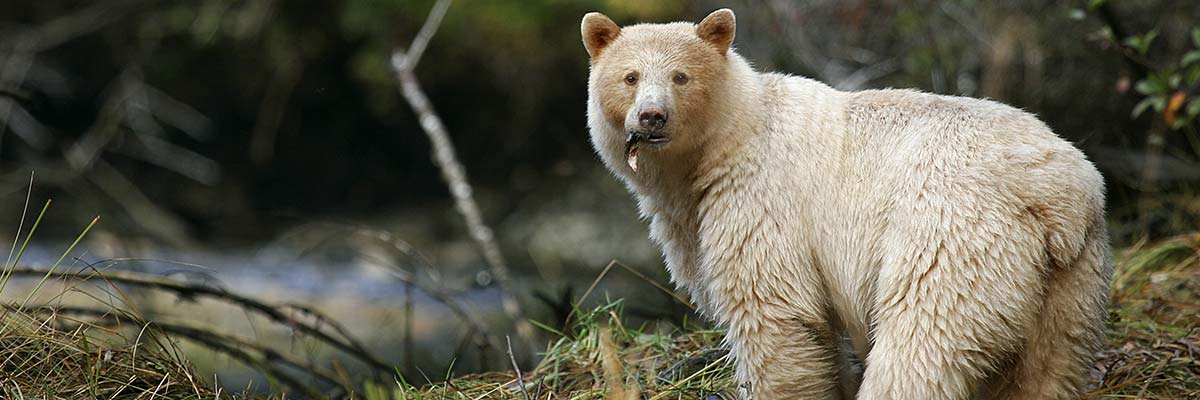
The Central Coast of British Columbia, nestled within the Great Bear Sea/Northern Shelf Bioregion is one of the richest marine environments in the world. For millennia, the wellbeing of the Wuikinuxv, Heiltsuk, Nuxalk, Kitasoo Xai’xais, Gitga’at, and Gitxaala Nations has been, and continues to be linked to the health of this marine environment. This area is home to extraordinary ecological features including coral and sponge reefs, kelp forests, and eelgrass beds that support diverse communities of fish and marine species.
The establishment of a national marine conservation area reserve (NMCAR) would protect this region in a holistic way that includes a wide range of highly connected habitats and ecosystems and the species that depend on them. By extension, the establishment of an NMCAR would contribute to the well-being of Indigenous peoples, coastal communities, and resource-dependent marine sectors that rely on the health of these ecosystems.
Partners
In August 2021, the Wuikinuxv, Heiltsuk, Nuxalk, Kitasoo Xai’xais Nations signed a Memorandum of Understanding (M.O.U.) with Parks Canada and the province of British Columbia. This M.O.U. launched a feasibility assessment for a proposed NMCAR on the Central Coast of British Columbia. In fall 2023, following a request from Gitga’at and Gitxaala Nations to include key areas of their traditional territories in the NMCAR feasibility assessment, the proposed boundary was expanded further north.
Wuikinuxv Nation
Heiltsuk Nation
Nuxalk Nation
Kitasoo Xai’xais Nation
Gitga’at Nation
Gitxaala Nation

Wuikinuxv Nation
Heiltsuk Nation
Nuxalk Nation
Kitasoo Xai’xais Nation
Gitga’at Nation
Gitxaala Nation
Current project stage
When considering an area as a candidate for a new NMCA, there is a standard sequence framed by five steps. This project is currently at step 3 of 5 – Assess the feasibility of an NMCA.
-
Completed1 Identify representative marine areas
-
Completed2 Select a candidate NMCA
-
Current step3 Assess feasibility of an NMCA
-
4 Negotiate establishment agreement(s)
-
5 Designate and protect NMCA in legislation
The government of Canada, through Parks Canada and Fisheries and Oceans Canada, the province of British Columbia, and the Nations are collaboratively assessing the potential conservation benefits and socio-economic implications of establishing an NMCAR in the region. Engagement with each partnering First Nation’s elected and hereditary leadership, as well as broader community members is integral to the NMCAR process. In addition, feedback from Central Coast community members, stakeholders, local governments, and the Canadian public is being gathered during the feasibility assessment process.
Proposed outer boundary and the original study area boundary
The blue area on the proposed outer boundary map (Map A) illustrates the draft outer boundary for the proposed NMCAR. It is not a final boundary. It is expected that the boundary will be modified using input received during the engagement process.
This proposed outer boundary (Map A) evolved from the original Feasibility Assessment study area boundary (Map B – yellow area). Adjustments are the result of discussions with partners, as well as an intent to align with the Marine Protected Area Network Action Plan for the Northern Shelf Bioregion.
The final boundary will be informed through the engagement process and therefore Map A is subject to change. For example, it is anticipated that some areas currently within the proposed boundary (Map A) will be excluded from a final NMCAR boundary. Such as, marine areas immediately adjacent to communities, where a wide range of marine activities and infrastructure occur, are likely to be excluded.
Map A: Proposed outer boundary map

Map A description
Map of the Proposed Outer Boundary, Proposed Central Coast National Marine Conservation Area Reserve (NMCAR), Feasibility Assessment
This map is centered on the Central Coast region of British Columbia, Canada. The map area extends from the south end of Banks Island and Gil Island in the north, south to the northern tip of Vancouver Island. Red text across the top of the map indicates that this map is a “DRAFT for Discussion.”
A legend box in the upper left contains two features – the Proposed Central Coast NMCAR Outer Boundary (blue polygon), and communities (small black circle).
The map contains a ‘key map’ in the lower left corner locating the extents of the primary map in the broader context of British Columbia and portions of the United States, including both Washington State and a portion of the Alaska pan handle. The key map also includes all of Vancouver Island and the Haida Gwaii archipelago.
A 0 to 40 km scale bar is included in the lower right corner of the main map along with a north arrow. The logos of the Heiltsuk, Kitasoo Xai’xais, Wuikinuxv, Nuxalk, Gitga’at and Gitxaala First Nations, along with those of the governments of the Province of British Columbia and Canada are displayed across the bottom of the map.
The proposed outer boundary is shown on the map in blue. The southern extent of the proposed outer boundary captures the south end of Calvert Island and includes Rivers Inlet. The northern extent of the proposed boundary includes the western side of Trutch Island, extends eastward midway across Campania Island and the southern tip of Gil Island and continues midway through Graham Reach just north of Khutz Inlet. The irregular western extent of the proposed boundary encompasses Calvert, Hunter, Campbell, Price, and Aristazabal Islands and extends out approximately 45 km into Queen Charlotte Sound at one point to capture a portion of Goose Bank beyond a cluster of islands known as the Goose Group. The eastern extent of the proposed boundary is delineated by the mainland and includes Rivers Inlet, and the Burke, Dean, Mathieson, and Finlayson Channels. The coastal communities of Rivers Inlet, Bella Bella, Bella Coola, Hagensborg, Ocean Falls and Klemtu are shown.
Map B: Feasibility Assessment study area boundary

Map B description
This map identifies the study area for the proposed national marine conservation area reserve in the Central Coast of British Columbia (yellow polygon). The study area is offshore of the Great Bear Rainforest of the Central Coast of British Columbia, beginning to the southwest of Oweekeno and extending to the northwest of Klemtu.
Rationale for this location

An NMCAR on the Central Coast of BC is being considered for many reasons, including:
- high biodiversity and ecological values in the region
- cultural significance of the area
- opportunity for tourism and recreation
- this marine region is not currently represented in the Parks Canada national marine conservation area system
Marine biodiversity is threatened by multiple stressors including habitat alteration, resource use pressure, and climate change. Culture, food security, ecosystem health, and economic opportunities in the Central Coast all depend on healthy marine ecosystems. The establishment of an NMCAR aims to reduce localized stressors and protect important ecosystems to safeguard lasting social, economic, and cultural benefits for coastal communities.
Background
The proposed Central Coast NMCAR represents a core component of the proposed Marine Protected Area Network for the Northern Shelf Bioregion. The governments of fifteen Coastal First Nations, Canada and British Columbia endorsed a Network Action Plan for the Marine Protected Area (MPA) Network in February 2023. This plan provides a roadmap for protecting the marine environment in the region for current and future generations. NMCAs provide high ecological and cultural protections while also allowing ecologically sustainable activities and diversification of the local economy.
Possible outcomes
© Markus Thompson/Thalassia
The establishment of an NMCAR here would protect important habitats, species, and ecosystems on which Indigenous peoples, coastal communities, and resource-dependent marine sectors rely. Human activities in an NMCAR would be carefully co-governed between First Nations and the Crown, based on Indigenous knowledge, local perspectives, and science. NMCARs can have different zones of activity that range from “strict protection” to “multiple use” areas, which allow for ecologically sustainable activities. First Nations’ food, social, and ceremonial activities continue in all NMCAR zones.
Establishing an NMCAR will support an ecologically sustainable ocean economy on the Central Coast that includes activities such as commercial and recreational fishing, aquaculture (marine plants, shellfish), local tourism, recreation, and research.
Timeline and next steps
The feasibility assessment will conclude with a report and recommendation that will be submitted to the leadership of all partners. The feasibility assessment is expected to be completed in June 2024. If all partners agree that establishing an NMCAR on the Central Coast of BC is feasible and desirable, the next step will be to negotiate an NMCAR Establishment Agreement.
Contact
Email Parks Canada’s Pacific NMCA Establishment Team at: nmca-pacific-amnc@pc.gc.ca
- Date modified :