
Western Weeneebeg (James Bay) and southwestern Washabeyoh (Hudson Bay): proposed national marine conservation area (NMCA)
Great news! The Mushkegowuk Council and the Government of Canada announced the completion of the feasibility assessment for the proposed new national marine conservation area in western James Bay and southwestern Hudson Bay! Learn more about this major step.
Project description
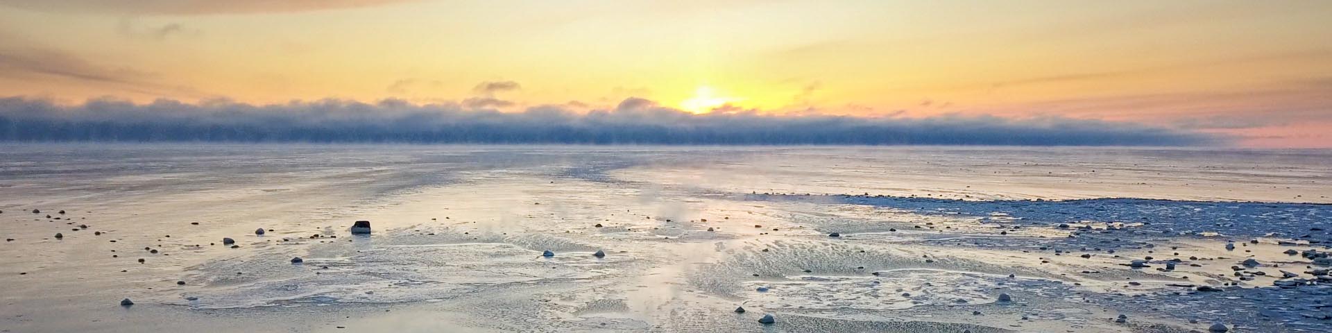
Western Weeneebeg (James Bay) and southwestern Washabeyoh (Hudson Bay) is located in northern Ontario offshore Treaty 9 and home of the Omushkego people). It encompasses an immense array of biodiversity including populations of beluga whales and polar bears, while serving as an essential global stopover for migratory birds.
Omushkego people have been the stewards of these lands and waters since time immemorial. Enhancing the protection of these ecosystems would not only help to conserve biodiversity and assist with the fight against climate change, but would also help maintain the culture, traditions, and well-being of Omushkego communities.
This proposed NMCA contributes to representing two regions in Parks Canada’s Marine System Plan: the James Bay Marine Region and the Hudson Bay Marine Region.
If established, the proposed NMCA would:
- recognize and support Omushkego stewardship and leadership in conservation
- contribute to the long-term economic, social, and cultural well-being of Omushkego peoples and coastal communities
- protect and conserve marine ecosystems, biodiversity, and support sustainability
- connect people to places in Canada and create enjoyable experiences for visitors
- promote awareness and understanding among Canadians
Learn more on the Mushkegowuk Council Marine Conservation.
Partners
In 2021, the Government of Canada and Mushkegowuk Council signed a Memorandum of Understanding (MOU). This agreement launched a formal process to assess the feasibility of establishing a national marine conservation area (NMCA) in western Weeneebeg (James Bay) and southwestern Washaybeyoh (Hudson Bay).
In this NMCA project, Mushkegowuk Council is ensuring that nine participating First Nations have a voice in the feasibility assessment:
- Attawapiskat First Nation
- Chapleau Cree First Nation
- Fort Albany First Nation
- Kashechewan First Nation
- Missanabie Cree First Nation
- Moose Cree First Nation
- Taykwa Tagamou Nation
- Weenusk First Nation
- Fort Severn First Nation
Current project stage
When considering an area as a candidate for a new NMCA, there is a standard sequence framed by five steps. This project is currently assessing the feasibility of an NMCA.
-
Completed1 Identify representative marine areas
-
Completed2 Select a candidate NMCA
-
Current step3 Assess feasibility of an NMCA
-
4 Negotiate establishment agreement(s)
-
5 Designate and protect NMCA in legislation
Steering committee
The feasibility assessment agreement established a steering committee, consisting of 2 representatives of Mushkegowuk Council and 2 representatives of Parks Canada.
The mandate of the steering committee is to guide the feasibility assessment process and to provide recommendations to respective parties on feasibility and potential terms and conditions.
During this feasibility assessment, equitable attention is given to Omushkego knowledge of the area. Omushkego perspectives are being sought and incorporated, existing scientific information gathered, and key right holders and stakeholders engaged.
Indigenous inherent and Treaty rights in an NMCA
NMCA establishment and management also supports Canada’s commitment to advancing reconciliation and the implementation of rights, treaty obligations, and related commitments in a manner that reflects the spirit and intent of the United Nations Declaration on the Rights of Indigenous Peoples.
Inherent and Treaty rights to harvesting, hunting, fishing, and trapping would be protected in this NMCA.
Proposed boundary
The study area covers approximately 91,000 km2.
A study area refers to the area on which the steering committee concentrates their efforts to assess feasibility of establishing a proposed NMCA.
Map: Proposed national marine conservation study area
The blue in the map represents the study area for the feasibility assessment. It is not the final boundary. The recommended boundary would only be decided after consultations with all partners and rights holders are completed.

Long description
This map identifies the study area for the proposed national marine conservation area in western James Bay and southwestern Hudson Bay. The study area is in northern Ontario offshore Treaty 9, beginning to the northeast of Moosonee and extending to the northwest of Fort Severn.
Activities in an NMCA
The Government of Canada is committed to achieving reconciliation with Indigenous peoples through a renewed, nation-to-nation, and government-to-government relationship based on recognition of rights, respect, co-operation, and partnership as the foundation for transformative change. Parks Canada and Indigenous governing bodies co-develop collaborative governance models to ensure long term stewardship and ecological sustainability of these sites.
While federal departments such as Fisheries and Oceans Canada and the Canadian Coast Guard as well as Transport Canada and National Defense retain their responsibilities inside the boundaries of an NMCA, efforts are made to ensure all authorities and stakeholders operate within the vision of the NMCA.
Activities not allowed
Generally, the following activities described in the Protection Standard for Federal Marine Protected Areas are not allowed in NMCAs:
- mining and oil and gas exploration, development, and production
- using bottom-trawl gear
- disposal at sea of waste and other matter, dumping of fill
- depositing drugs and pesticides.
The scope of each of these activities including exceptions to their application are described in the Protection Standard for Federal Marine Protected Areas.
Timeline and next steps
The feasibility assessment will conclude with a report and recommendations that will be submitted to the Grand Chief of Mushkegowuk Council as well as the Minister of Environment and Climate Change. If the steering committee finds that a national marine conservation area is feasible, the next step will be for both parties to negotiate an establishment agreement, including potential governance structures.
Engagement and consultation will continue with Indigenous and local communities, relevant authorities, stakeholders, and the public as we work towards establishment.
Contact us
Parks Canada project team
Email: wjbnmca-bjoamnc@pc.gc.ca
Mushkegowuk Council project team
Email: lawrencemartin@mushkegowuk.ca
Related links
- Date modified :